Newport Isle of Wight as it’s never been seen before! There is now a new map to help visitors and locals around the Island’s county town.
Newport and Carisbrooke Parish Council has revealed a new and affectionate map of Newport town centre.
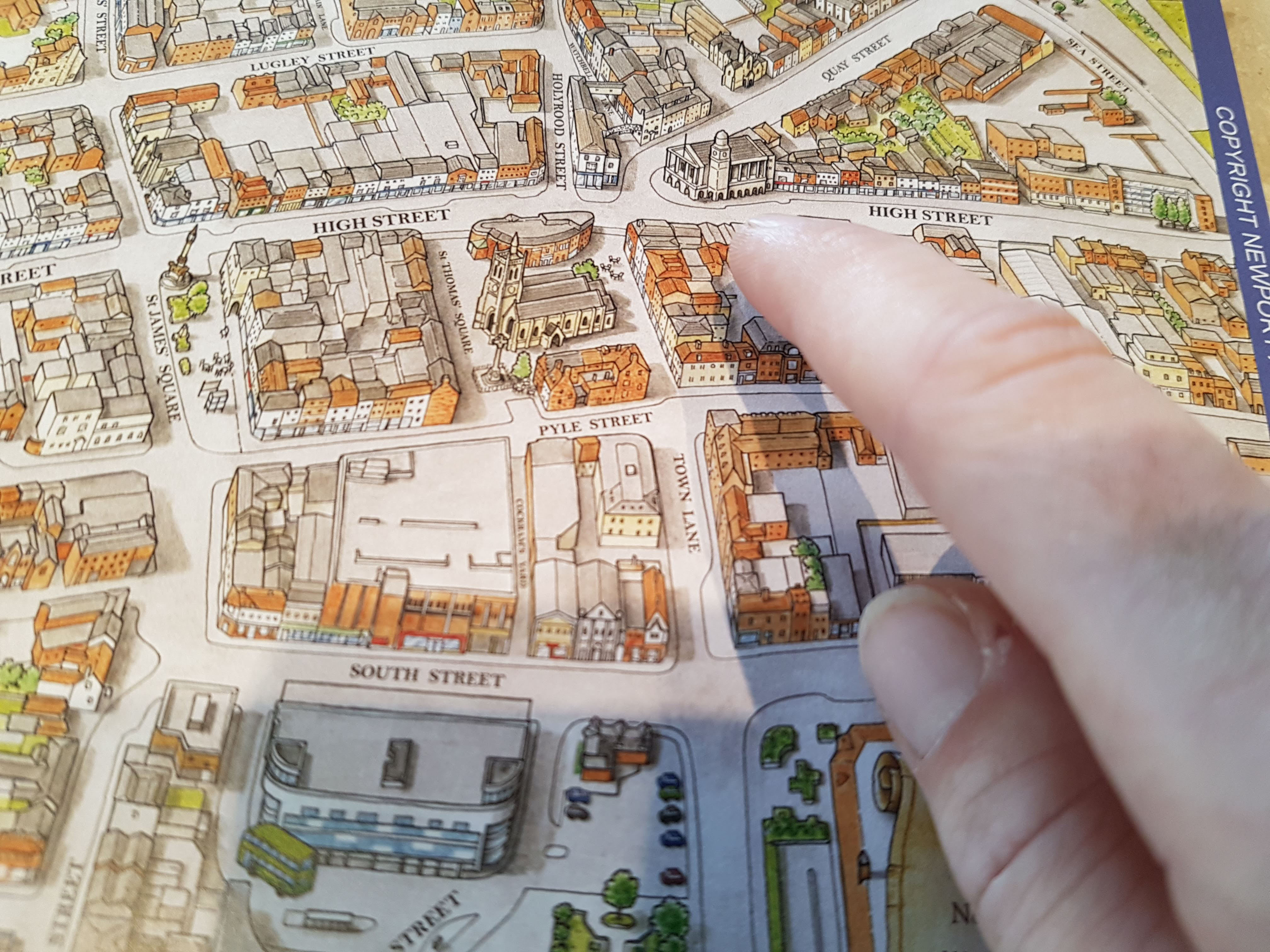
Hand drawn by Alan Rowe of Potting Shed Cartoons, the map will be available in full size A4 colour from Visit Isle of Wight’s Tourist Information Centre based at the Guildhall in Newport.
Cllr Julie Jones-Evans has been working on producing the map to enable visitors to better navigate around town for the past 3 years, and a large enamel version will soon be installed in the High Street.
Julie said: “Creating a map that revealed the historic character of the area was really important and the finished design has far surpassed my expectations.”
Popular Carisbrooke based artist Alan Rowe said that the detailed Newport map took around 6 months from start to finish, focusing on the difficult task of keeping an illustrated style while ensuring it was usable for the general public to find their way around. Alan explained why he enjoyed the project so much, “It was fun to draw the well known features such as the Victoria Monument and the Minster. Being a local, I’ve always wanted to draw a map of the town, so this was my chance! “I feel proud and pleased to be part of this project and it’s nice to think of visitors exploring more of the town as a result.”
The map will also be used in other products such as mugs and tea towels.